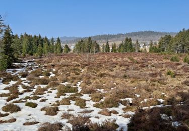
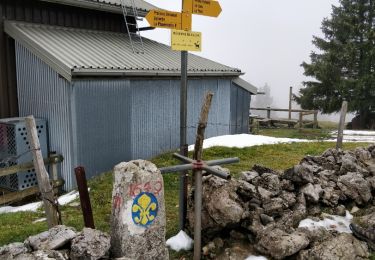
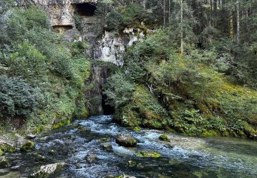
5.4 km | 6.5 km-effort
2011-11-27 18h18m34
ludo39
User
Length
29 km
Max alt
1451 m
Uphill gradient
939 m
Km-Effort
41 km
Min alt
1081 m
Downhill gradient
937 m
Boucle
Yes
Creation date :
2014-12-10 00:00:00.0
Updated on :
2014-12-10 00:00:00.0
7h08
Difficulty : Medium
FREE GPS app for hiking
About
Trail Walking of 29 km to be discovered at Bourgogne-Franche-Comté, Doubs, Les Villedieu. This trail is proposed by ludo39.
Positioning
Country:
France
Region :
Bourgogne-Franche-Comté
Department/Province :
Doubs
Municipality :
Les Villedieu
Location:
Unknown
Start:(Dec)
Start:(UTM)
289549 ; 5177056 (32T) N.
Comments
Trails nearby
Mouthe - La Source du Doubs
Walking
Very easy
(1)
Mouthe,
Bourgogne-Franche-Comté,
Doubs,
France
Unknown
Yes
Boucle autour de la baume champion
Walking
Medium
Remoray-Boujeons,
Bourgogne-Franche-Comté,
Doubs,
France
8.5 km | 10.9 km-effort
2h 28min
Yes
Le Rivier
On foot
Easy
Rondefontaine,
Bourgogne-Franche-Comté,
Doubs,
France
9.5 km | 12.5 km-effort
2h 51min
Yes
GTJ 4 Mouthe, Foncine le Haut
Walking
Medium
Mouthe,
Bourgogne-Franche-Comté,
Doubs,
France
28 km | 39 km-effort
7h 12min
No
SOURCE DU DOUBS
Walking
Medium
Mouthe,
Bourgogne-Franche-Comté,
Doubs,
France
5.7 km | 7.2 km-effort
1h 25min
Yes
Belvédère de la source du Doubs
Walking
Easy
(1)
Mouthe,
Bourgogne-Franche-Comté,
Doubs,
France
4 km | 5.2 km-effort
1h 45min
Yes
Belvedere des 2 lacs
Walking
Easy
Brey-et-Maison-du-Bois,
Bourgogne-Franche-Comté,
Doubs,
France
11.1 km | 14.4 km-effort
3h 50min
Yes
Granges Ranguin Mont d'Or
Walking
Easy
(2)
Rochejean,
Bourgogne-Franche-Comté,
Doubs,
France
13.6 km | 19.1 km-effort
3h 45min
Yes
source-du-doubs 3
Walking
Easy
Mouthe,
Bourgogne-Franche-Comté,
Doubs,
France
1 km | 1.8 km-effort
24min
Yes